No tropical nights recorded in June as heat waves stay near normal levels
Monsoon season arrives 11 days late on Jeju Island
This June stood in sharp contrast to last year's record-breaking heat and early monsoon, with heat waves staying near normal levels and the rainy season arriving later than usual.
The Korea Meteorological Administration said Friday in its "June 2026 Climate Characteristics" report that the national average temperature last month was 22.2 degrees Celsius, 0.8 degrees above the historical average of 21.4 degrees — the seventh warmest June on record. It was, however, 0.7 degrees cooler than last year's 22.9 degrees.
Temperatures ran high in early and mid-June, but cool air from upper atmospheric layers moved in during the middle and latter parts of the month, pulling readings back to near-normal levels.
Heat waves were noticeably weaker than in the previous two years. The national average number of heat wave days last month was 0.6, roughly in line with the historical average of 0.7 days — a far cry from 2024's record 2.8 days and last year's 2.0 days. The pattern of nationwide heat waves persisting from June onward did not materialize this year.
Seoul recorded no tropical nights in June this year, breaking a four-year streak that had run from 2022 through last year.
Rainfall was also below average. Total national precipitation reached 95.4 millimeters, about 65 percent of the historical average of 148.2 millimeters and roughly half of last year's figure. However, 64.4 percent of the month's total rainfall was concentrated over just two days — June 19 and 20 — bringing heavy rain particularly to the east coast.
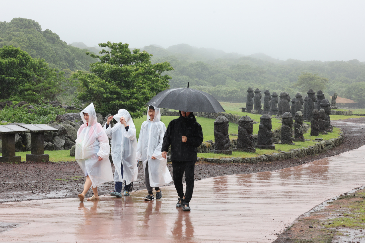
The monsoon season also got off to a late start. The rainy season began June 30 in Jeju and the southern regions, and July 1 in the central regions — 11, 7 and 6 days behind the historical average, respectively. For Jeju, it was the third-latest monsoon onset on record, after July 5, 1982, and July 3, 2021.
The weather agency said Arctic blocking patterns frequently pushed cold air from the upper atmosphere into the Korean Peninsula, while weakened convective activity over the tropical western Pacific prevented the North Pacific High from developing sufficiently. A typhoon that moved northward in late June added further disruption, delaying the northward advance of the monsoon front.
"Climate volatility has been increasing in recent years, with different patterns emerging each year," said Korea Meteorological Administration chief Lee Mi-seon. "We will closely monitor various abnormal climate phenomena and work in close cooperation with disaster prevention agencies to prepare for dangerous weather events."
newday@heraldcorp.com