- GeoCore-9B trained on 10 million satellite image pairs to remove cloud cover and convert radar imagery to optical photos
- Model learns shooting location and real-world terrain scale, with potential uses in disaster monitoring and environmental observation
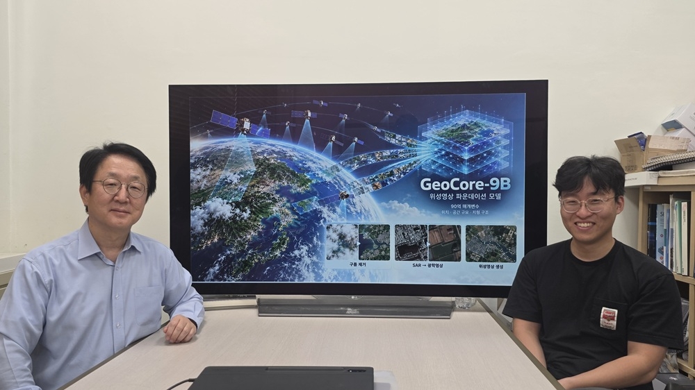
Researchers have developed an AI technology that can restore ground-level imagery obscured by cloud cover and convert hard-to-interpret radar satellite images into natural-looking optical photographs.
KAIST announced that a research team led by Professor Kim Moon-chul of the university's School of Electrical Engineering has developed GeoCore-9B, an AI capable of generating, restoring and converting satellite imagery within a single model.
The team built a satellite imagery-specific AI model with about 9 billion parameters, training it from the outset on satellite data rather than adapting an existing general-purpose image-generation AI.
Training drew on 10 million pairs of satellite images from around the world and descriptive captions, allowing the AI to independently learn the characteristics of diverse terrain and facilities — including ports and vessels, roads and farmland, and urban areas and forests.
The model was designed to learn not only the shape of objects in images but also the shooting location and actual spatial dimensions. By incorporating latitude, longitude and ground sampling distance, the system can determine the real-world scale of buildings, roads and industrial facilities captured in the imagery.
The team also applied a "geospatial semantic alignment" technique that enables the model to precisely learn the spatial characteristics of terrain, such as road connectivity and farmland boundaries.
The research team validated the AI by applying it to cloud removal and the conversion of synthetic aperture radar imagery into optical images.
In experiments using publicly available satellite data, the model outperformed existing specialized AI models on key metrics measuring brightness, color and structural similarity in cloud-obscured image restoration. In tests converting radar imagery to standard optical images, it also achieved top scores on some metrics evaluating image quality and fine structural detail.
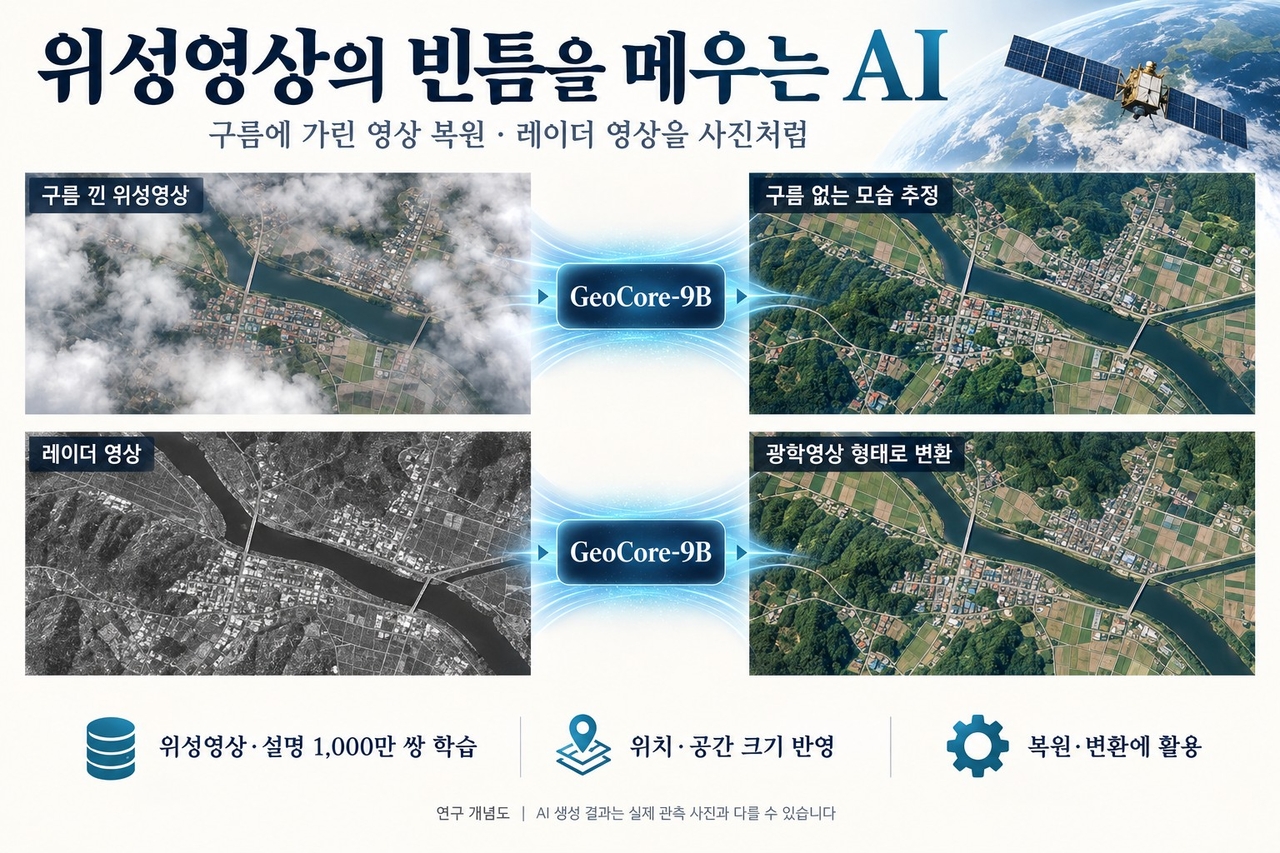
A particularly significant aspect of the technology is that a single AI model can handle multiple image-processing tasks. Previously, separate AI systems had to be developed for each task, such as cloud removal and image conversion. The new approach reduces that development burden by keeping a core model intact and applying only limited additional training for each new task.
The technology is expected to support image analysis in regions where cloud cover hampers observation, as well as visualization of radar data. It could also be applied to disaster monitoring — including wildfires, floods and landslides — and to tracking environmental changes such as deforestation and urban expansion. However, its effectiveness in actual disaster response and national territory surveillance will require further verification.
The research team plans to expand validation across a wider range of satellite sensors and regions, and to extend its applied research into defense-related surveillance, reconnaissance and battlefield situation analysis.
"We trained the model on shooting location and real-world terrain scale so that a single AI could be used for multiple tasks such as cloud removal and image conversion," Kim said. "We expect it to help assess disaster situations and monitor changes in forests and cities by broadening the usability of satellite data that was previously difficult to work with due to weather or imaging methods."
The findings have been accepted for presentation at NeurIPS 2026, a leading international AI conference.
nbgkoo@heraldcorp.com