Forestry helicopters to survey areas that received more than 200mm of rainfall June 23–25
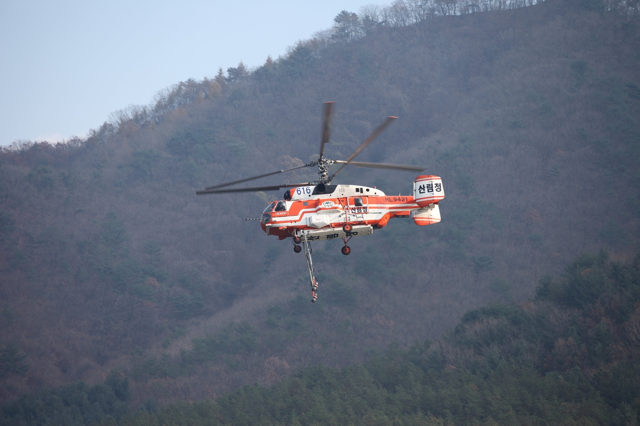
The Korea Forest Service said it will launch an aerial survey using forestry helicopters to assess landslide damage in areas hit by recent heavy rainfall.
The Korea Forest Service, led by Commissioner Park Eun-sik, said it will conduct a joint aerial landslide survey with the Korea Forest Aviation Headquarters and national forest management offices from June 23 to June 25, targeting mountainous areas in Gangwon Province that recorded more than 200mm of rainfall over three days beginning June 19.
According to Korea Meteorological Administration records, heavy rain fell from June 19 through June 21 across the Gangwon Province east coast, northern North Gyeongsang Province and Ulleungdo, with Inje (Misiryeong) recording the highest cumulative rainfall at 259.5mm.
In response, the Korea Forest Service plans to conduct visual aerial inspections of forest areas in Sokcho, Inje-gun and Goseong-gun in Gangwon Province — all of which recorded cumulative rainfall exceeding 200mm — and to obtain the geographic coordinates of any affected sites.
If the aerial survey confirms landslide damage, follow-up ground investigations using drones and other tools will collect precise location data, affected area measurements and other spatial information for entry into the National Disaster Management System, after which the agency will draw up recovery plans.
"When landslide damage occurs, it is critical to conduct swift and thorough damage assessments using a range of survey methods, including aircraft and drones," said Lee Yong-gwon, the Korea Forest Service's forest disaster control officer. "We will push ahead with recovery projects by completing assessments as quickly as possible once damage is confirmed."
kwonhl@heraldcorp.com