Seoul's Jung-gu (district mayor Kim Gil-sung) is launching a pilot of what it calls a "visible urban planning information service" — a 3D platform that lets anyone see at a glance what kind of building can be constructed on a given plot within a district-unit planning zone. The district says it is the first public urban planning information service of its kind in the country.
Until now, urban planning data has been available mainly through platforms such as "Toji-eum" and the Seoul Urban Space Portal, but those services rely largely on two-dimensional drawings and text, making it difficult for ordinary residents to gauge how large a building they could put up. Some private services offer 3D building visualizations, but they do not incorporate the specific standards set out in district-unit plans.
Jung-gu began developing the service in September last year to address those shortcomings. The platform applies district-unit planning criteria — including building coverage ratio, floor-area ratio, height limits and building setback lines — to generate a three-dimensional massing model showing the form a building on a given lot could take.
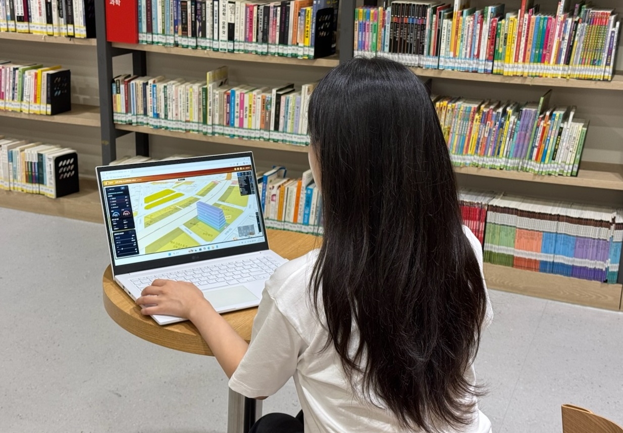
Using the service is straightforward. Enter a lot number or click on a parcel on the map, and the buildable envelope appears on screen immediately. Users can rotate the view 360 degrees to examine the building form and its surroundings from any angle.
A simulation function lets users adjust the parameters themselves. Changing the building coverage ratio, floor-area ratio, floor height or number of floors updates the 3D model in real time, giving an instant picture of how large a structure the land can accommodate.
Alongside this, the service displays additional information — building setback lines, designated and recommended joint-development zones, and special planning zones — making it useful not only for residents but also for architects and design professionals reviewing plans.
The pilot covers three zones: the Hoehyeon district-unit planning zone, the Toegyero-side district-unit planning zone, and the Sindang-Cheongu transit-oriented area district-unit planning zone. The district plans to gather user feedback during the pilot and expand coverage to additional areas in stages.
The service is free on its website, with no membership registration required.
"Urban planning should not be the exclusive domain of experts — it should be information that any resident can easily understand and use," district mayor Kim said. "Through this service, which puts complex urban planning data in plain sight, we will strengthen residents' right to know and deliver smart city administration they can feel in their daily lives."
seouldream01@heraldcorp.com