Ministry of Climate, Environment and Energy presents water management overhaul plan at Cabinet meeting; infrastructure upgrades, predictive systems and targeted management of vulnerable areas planned
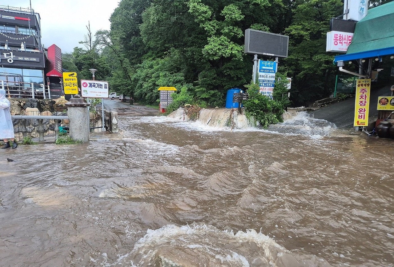
As climate change drives more frequent floods and droughts, the government is moving to expand water storage capacity while strengthening its forecasting, monitoring and facility management systems.
The Ministry of Climate, Environment and Energy said Tuesday it presented a plan titled "Water Management System Improvement in the Era of the Climate Crisis" at a Cabinet meeting, outlining measures to address the growing threat of floods and droughts.
The ministry said current water management infrastructure faces clear limits in handling extreme rainfall and localized drought — falling short in storage capacity, forecast coverage and the diversity of available water sources — and that the plan was drawn up to address those gaps.
Built around the goal of "efficiently responding to complex disasters through climate-resilient water management," the plan pursues nine tasks across three areas: expanding climate-adaptive water management infrastructure, enhancing disaster response through scientific forecasting and monitoring, and strengthening management of flood- and drought-vulnerable areas and facilities.
Expanding climate-adaptive water management infrastructure
The government plans to identify additional water storage sites to capture early rainfall during extreme downpours. During the flood season — June 21 through Sept. 20 each year — water will be released in advance based on rainfall and river conditions to free up capacity, while water will be stored during dry periods to secure supply.
Retention basins on the Mokgamcheon and Wonjucheon streams, to be completed by 2029, and the Bonghwa Dam — a small-scale flood-control dam due by 2028 — will be built to supplement the current levee-centered flood defense system.
Large-scale underground drainage facilities in urban areas — including deep-tunnel stormwater tunnels near Gangnam Station and Gwanghwamun in Seoul, and an underground flood channel along the Dorimcheon stream — are also planned for completion before the 2029 flood season.
To prepare for drought, the government will diversify water sources so that no single supply point is relied upon exclusively.
An emergency water channel to carry water from the Seomjingang River to Dongbok Dam will be built by 2029, linking dams and rivers for shared use, while a water tunnel connecting Namgang Dam and Hapcheon Dam will begin conceptual design in 2027. Reclaimed wastewater will also be developed as a supply source — targeting 330,000 tons per day for southern Gyeonggi Province and 200,000 tons per day for semiconductor industrial complexes in the Honam region, both by 2030.
Design standards for flood prevention infrastructure will also be raised.
The government removed the upper ceiling on levee design standards — previously set at return periods of 100 to 200 years for national rivers and 50 to 100 years for local rivers — in December last year. In June this year, it revised standards for sewer pipes and pumping stations, raising the design return period from 10–30 years to 30–50 years and requiring the application of climate-change uplift factors. Dam design standards will also be updated to incorporate extreme rainfall data through 2024 and future projections through 2100, replacing the previous baseline of rainfall records only through 2003, to improve dam safety.
Enhancing disaster response through scientific forecasting and monitoring
The government will also strengthen forecasting and monitoring systems to deliver earlier, more accurate flood and drought warnings and enable faster on-the-ground responses.
The number of river flood forecast points will increase from the current 223 to 270 by 2030. An urban flood forecast system piloted this year across six autonomous districts in Seoul will be extended to six metropolitan cities by the first half of 2030, then rolled out progressively to major urban river basins from 2031.
For drought forecasting, an AI model will be developed this year to predict streamflow in areas lacking flow measurement data by factoring in topographic and meteorological characteristics, with deployment set for 2027 to improve forecast accuracy.
Observation and monitoring equipment will also be expanded. Water level monitoring stations on local rivers will grow from 1,023 sites in 2026 to 1,191 by 2030, while streamflow measurement facilities will increase from 218 sites in 2026 to 579 by 2030.
National rivers will be equipped with AI-based closed-circuit television surveillance systems by the end of this year, and a water resources satellite scheduled for launch in 2028 will further strengthen monitoring. By 2028, an AI-assisted system will be in place to support decisions on the timing and volume of dam releases, drawing on weather forecasts and real-time dam and river water level data.
Strengthening management of flood- and drought-vulnerable areas and facilities
Flood- and drought-prone areas and aging infrastructure will receive focused attention.
Of the 3,760 local rivers vulnerable to flooding, the government will establish repair priority rankings for the 1,073 highest-risk rivers and provide them to local governments to guide urgent maintenance. For urban river basins at high risk of inundation, integrated flood damage prevention plans covering both rivers and sewer systems will be developed. Two basins — the Gwangjucheon and Suyeonggang — will be selected this year from a total of 64 designated urban river basins, with plans drawn up in sequence from 2027. Flood-vulnerable river sections will be formally defined under the River Act by 2027 to strengthen their management.
In islands and mountainous areas prone to drought, underground water retention dams will be expanded from four to eight sites by 2030. The four areas designated as water-cycle promotion zones in June this year — Gunsan, Jecheon, Jeungpyeong and Cheonan — will have tailored comprehensive plans in place by 2027.
Maintenance of aging levees, sewer pipes and water supply networks will also be stepped up.
Approximately 4,000 kilometers of sewer pipes requiring replacement or repair will be overhauled by 2030. Water supply infrastructure will be addressed through 330 projects across 142 local governments from 2017 to 2026, with a total budget of 9.9 trillion won ($7.42 billion), at a pace of roughly 600 kilometers per year.
To guard against flooding and aging infrastructure, the government will also pursue dam safety upgrades by 2030 — constructing new emergency discharge facilities at 14 water supply dams, reinforcing dam cores and spillways, and improving the seismic performance of intake towers and bridges atop dams.
Kim Han-seung, first vice minister of the Ministry of Climate, Environment and Energy, said rainfall patterns are shifting rapidly due to climate change, with drought and extreme downpours now striking different regions simultaneously rather than alternating. "The limits of a water management system built around past rainfall patterns are clear," Kim said. "We will build a system resilient to both floods and droughts — by expanding storage capacity and water sources, tightening forecasting and monitoring, and prioritizing the most vulnerable areas first."
thlee@heraldcorp.com