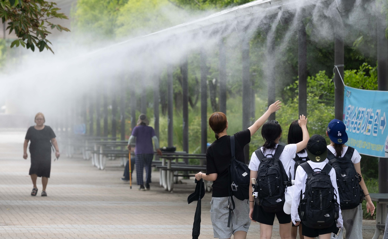
Yangsan in South Gyeongsang Province recorded 42.5 degrees Celsius on Sunday, the highest temperature ever measured since Korea began keeping meteorological records, as a punishing heat wave showed no signs of letting up.
Temperatures across South Gyeongsang Province surpassed 40 C on Sunday. Yangsan's reading of 42.5 C was the highest since meteorological observations began. As of 5 p.m., 15 automated weather station sites across the country logged daily high temperatures of 40 C or above.
Several other cities also set all-time local temperature records Sunday. Miryang reached 41.0 C, Gimhae 40.7 C, Uiryeong 40.6 C, Gyeongju 40.3 C, Jinju 39.9 C, Hamyang 39.0 C, Gwangyang 38.9 C, Geochang 38.4 C and Gangjin 37.9 C — each a record high since local observations began.
Busan, measured at the Jung-gu weather station, hit 38.0 C — the highest ever recorded there for August. Across all months, it ranked third-highest since observations began in 1904.
Even Daegwallyeong, a mountain weather station at an elevation of 772 meters, climbed to 32.4 C Sunday, approaching the threshold for an official heat wave day. The Korea Meteorological Administration classifies any day with a high of 33 C or above as a heat wave day.
Heat wave advisories were in effect for 228 of the country's 235 land-based weather alert zones — 97 percent of the total.
Extreme heat wave warnings, indicating conditions dangerous even to healthy individuals, were issued and remain in effect for Yangsan, Gimhae, Changwon, Miryang, Uiryeong, Changnyeong, Jinju, Boseong, Yeosu, Gwangyang, Haman, central and southern Hapcheon, Gyeongsan, Sacheon, central Daegu, southern Dalseong, Suncheon, Goryeong, northern Hadong, northern Sancheong, central Hamyang, southern Geochang and eastern Gwangju.
The heat is forecast to persist for the time being. On Monday, morning lows are expected to range from 23 to 27 C and afternoon highs from 32 to 39 C in major cities.
Forecast lows and highs for major cities on Monday are: Seoul 26 C and 37 C; Incheon 26 C and 34 C; Daejeon 25 C and 37 C; Gwangju and Daegu 26 C and 39 C; Ulsan 26 C and 35 C; and Busan 27 C and 35 C.
Yangsan is expected to see a morning low of 26 C and an afternoon high of 39 C.
A key variable in the heat outlook is Typhoon Dolphin, the 13th named storm of the season, which was moving westward Sunday afternoon about 1,270 kilometers north-northeast of Guam as of 3 p.m. The storm is forecast to reach waters about 30 kilometers northwest of Okinawa, Japan, by 3 p.m. Friday. Numerical weather prediction models increasingly favor a scenario in which Dolphin continues westward and makes landfall in China.
If the storm follows its current projected track, Dolphin is more likely to push up temperatures west of the Baekdudaegan mountain range than to bring cooling easterly winds to the Korean Peninsula.
Low-level winds are expected to gradually shift westward starting Monday. Scattered showers are possible in southern inland Gangwon Province and northern North Chungcheong Province during the late afternoon and evening Monday, but rainfall of only 5 to 10 millimeters is expected — not enough to provide any meaningful relief from the heat.
Ozone levels across the country, except Gangwon Province, are forecast to reach "bad" or worse Monday afternoon, with South Jeolla and South Gyeongsang provinces expected to hit "very bad" levels.
kimstar@heraldcorp.com