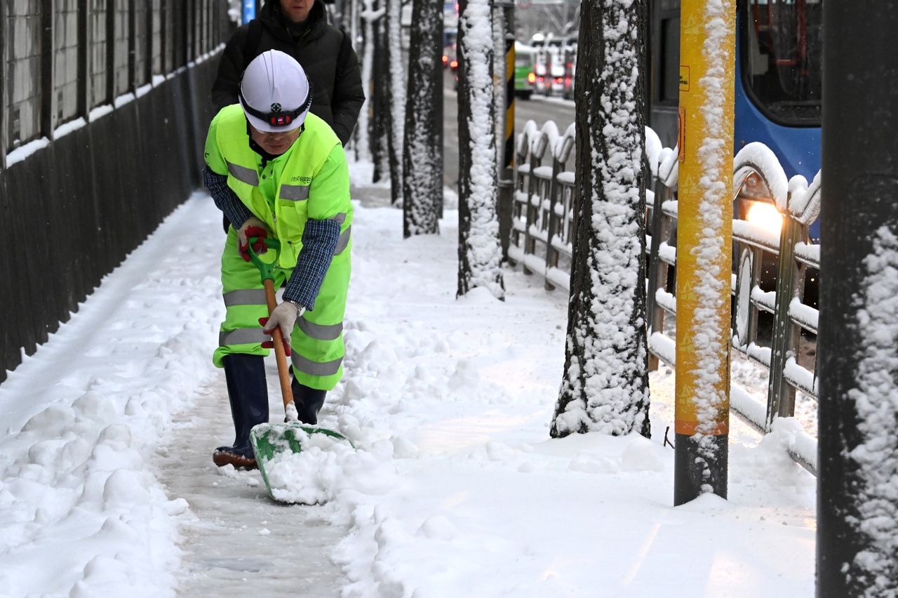
It is too soon to breathe easy.
Earlier this month, South Korea recorded temperatures exceeding 42 degrees Celsius for the first time in the nation's meteorological history. Then, as the heat finally broke, the skies opened up — three months' worth of summer rainfall poured down in just three days, delivering what forecasters called a record-breaking deluge.
Having endured both an extreme heat wave and catastrophic flooding, one might assume the worst of this year's weather is now behind us. Far from it — if anything, the situation calls for even greater vigilance.
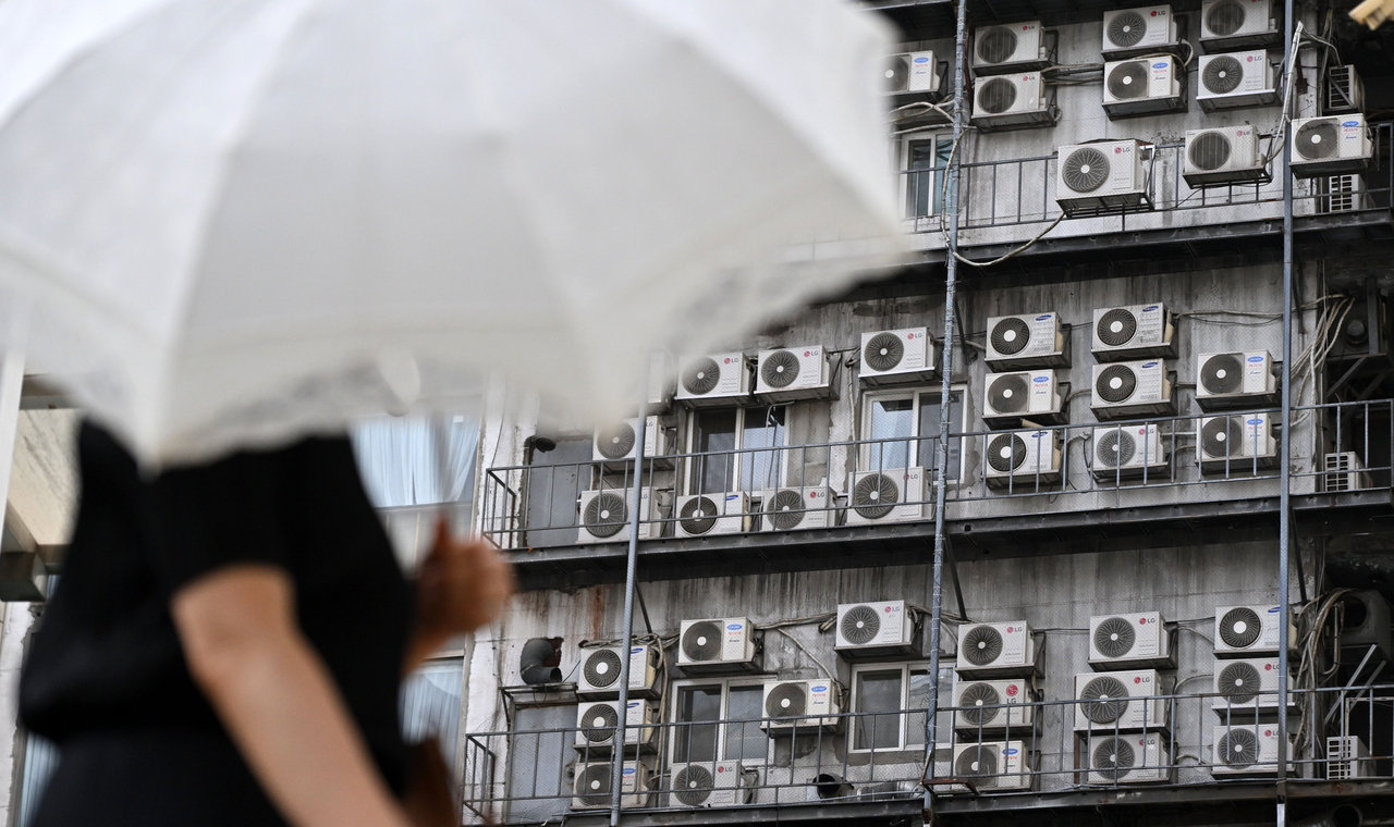
The culprit is El Niño, which has been driving extreme weather events across the globe this year. According to the latest forecasts, this year's El Niño is expected to intensify steadily, reaching its peak strength in autumn and winter.
In other words, the extreme weather is far from over — there is a real possibility that such events will keep recurring well beyond summer. Among the most pressing concerns is the prospect of abnormal winter weather.
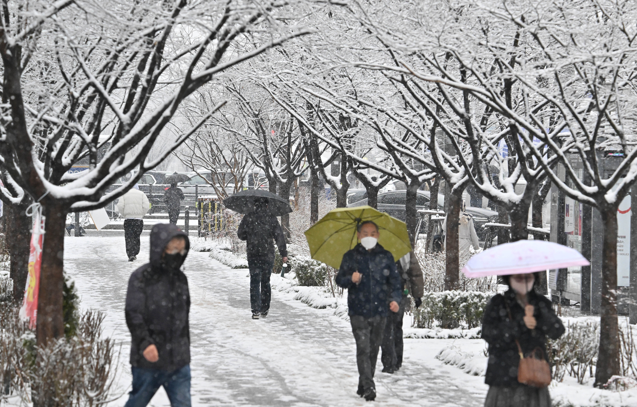
During winters when El Niño is developing, warm and humid air flows in more frequently. This creates conditions similar to summer's concentrated downpours — only instead of rain, the result can be sudden, intense bursts of snow: a "snow bomb."
Precise predictions of snowfall patterns remain impossible, of course. What is clear, however, is that South Korea — already battered by record heat and flooding — now faces yet another powerful climate variable.
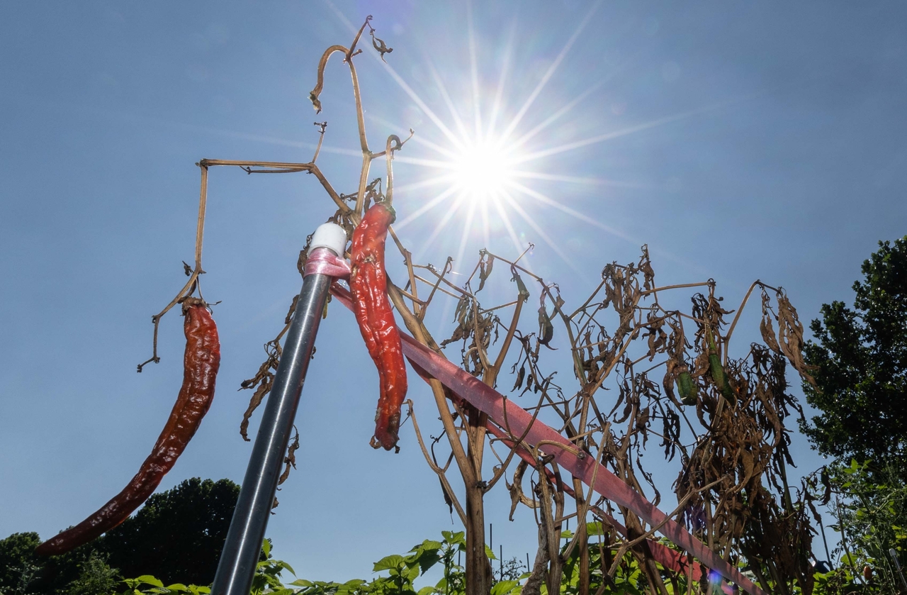
According to the latest outlook from the Climate Prediction Center of the US National Oceanic and Atmospheric Administration, El Niño is currently strengthening rapidly. In its official assessment released Thursday, NOAA put the probability of a "very strong El Niño" occurring during the Northern Hemisphere's autumn and the 2026–2027 winter at more than 90 percent.
El Niño is a phenomenon in which ocean surface temperatures near the equator rise above normal levels. The problem extends well beyond warmer seas. When the ocean heats up, it shifts where rain clouds form and alters wind patterns. This disrupts the global energy circulation balance and reshapes weather patterns around the world.
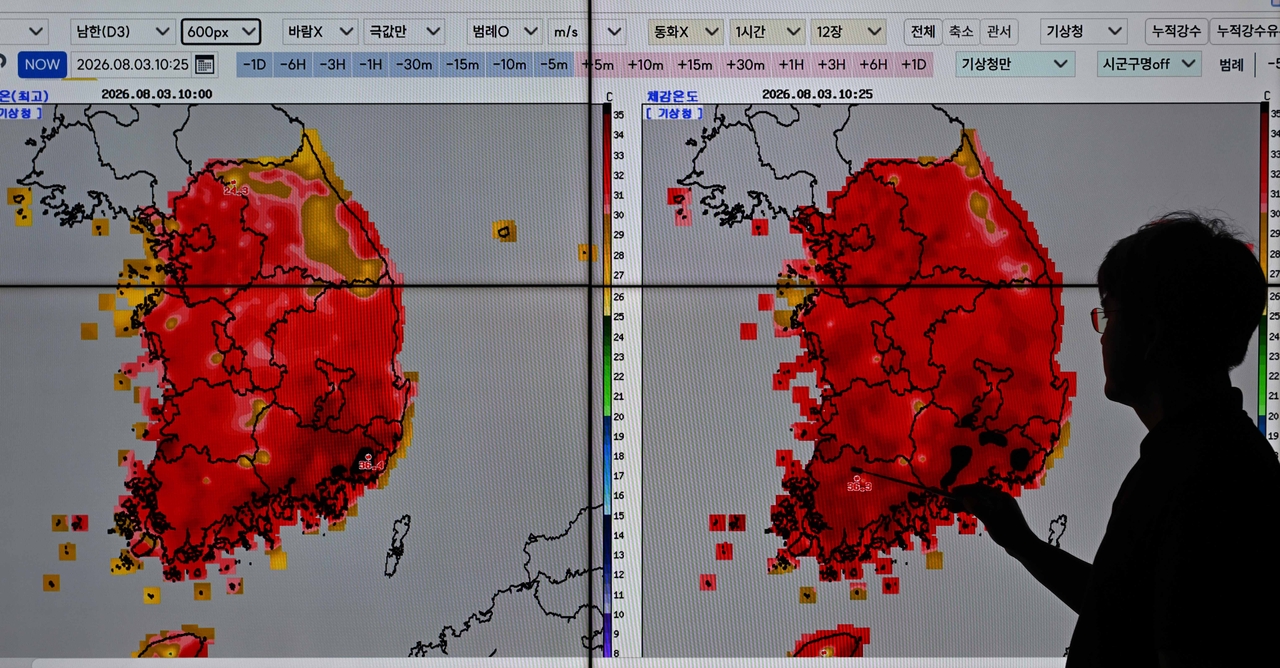
The projections go beyond simply calling this El Niño "strong." NOAA put the probability at 69 percent that this El Niño will develop into the most powerful on record since 1950 during the October–December period — a sign that ocean temperatures are rising to truly exceptional levels.
As recently as the first half of this year, considerable uncertainty remained over whether El Niño would even materialize. The World Meteorological Organization had forecast in March that neutral conditions could persist for some time. But from June onward, the likelihood of El Niño grew steadily. The probability of a "very strong El Niño" in the October–December window climbed from 81 percent last month to 90 percent this month.
![Strong winds, heavy rain and high waves batter the waters off Gyeongpo Beach in Gangneung, Gangwon Province. [Yonhap]](https://wimg.heraldcorp.com/news/cms/2026/08/19/rcv.YNA.20260813.PYH2026081318510006200_P1.jpg)
Conditions beneath the ocean surface are equally alarming. According to Australia's Bureau of Meteorology, heat stored in the upper layers of the equatorial Pacific last month reached its highest level since observations began in 1979. With so much thermal energy still trapped below the surface, El Niño has significant room to intensify further.
The same warning has come from China. The China National Climate Center said Tuesday that sea surface temperatures in the central and eastern equatorial Pacific continue to rise, and forecast that this El Niño could develop into the strongest ever recorded. Its peak is expected around November or December.
![High waves roll in at Gyeongpo Beach in Gangneung, Gangwon Province. [Yonhap]](https://wimg.heraldcorp.com/news/cms/2026/08/19/rcv.YNA.20260810.PYH2026081003250006200_P1.jpg)
A powerful El Niño carries significant consequences for South Korea. During winters when El Niño is developing, high-pressure systems typically form near the northwestern Pacific, channeling southerly winds into the Korean Peninsula more frequently. The result is a winter that is warmer than average and wetter than usual.
There is a recent precedent. The El Niño that unfolded between 2023 and 2024 — which the WMO ranked among the five strongest ever observed — brought exactly that kind of winter to South Korea: warm and damp throughout.
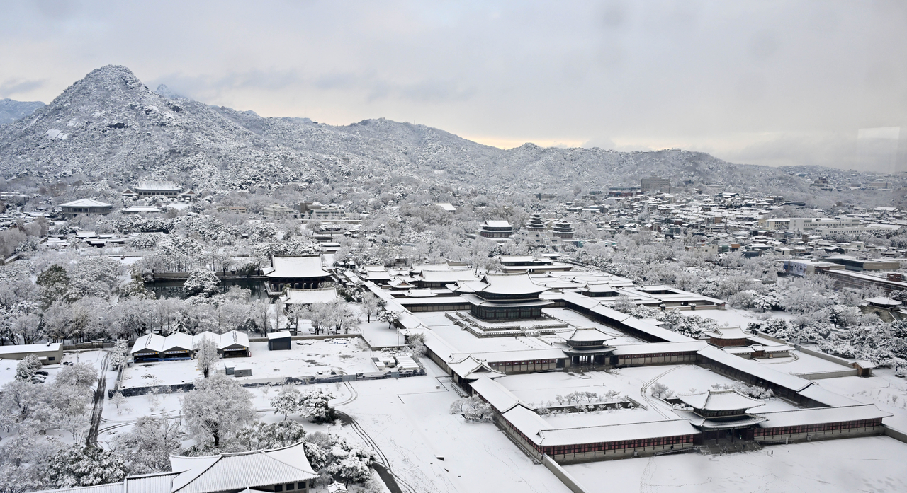
According to the Korea Meteorological Administration, the national average temperature from December 2023 through February 2024 was 2.4 degrees Celsius — about 1.9 degrees above the seasonal norm. Nationwide precipitation reached 236.7 millimeters, roughly 2.7 times the historical average of 89 millimeters, marking the highest figure since 1973.
Episodes of heavy snowfall punctuated that winter as well. In December 2023, Seonyu Island in Gunsan, North Jeolla Province, accumulated 64.6 centimeters of snow over three days. On Dec. 30 of that year, Seoul recorded 12.2 centimeters — the deepest December snowfall in 42 years. The following January brought 28 centimeters to Sunchang and 23.8 centimeters to Jeongeup, and in late February, mountain areas of Gangwon Province were buried under around 70 centimeters of snow over three days.
![Heavy snow falls over Dunsan-dong in Seo-gu, Daejeon. [Yonhap]](https://wimg.heraldcorp.com/news/cms/2026/08/19/rcv.YNA.20260224.PYH2026022407980006300_P1.jpg)
Heavy snow did not fall continuously throughout that winter. The number of snow days nationwide — 16 — was essentially in line with the historical average of 15.9 days. But the frequent influx of warm, moist air significantly boosted total precipitation, and each time cold air moved in, that precipitation turned to snow, producing intense, localized snowfall events across the country.
It would be an overstatement to attribute all of this solely to El Niño. The Korea Meteorological Administration analyzed that the record precipitation at the time resulted from a combination of factors, including unusually warm sea surface temperatures in the northern Indian Ocean and a high-pressure circulation system to the east of the Korean Peninsula. Still, El Niño is unquestionably one of the most powerful variables capable of pushing weather patterns in unpredictable directions.
![Vehicles crawl along the Gyeongbu Expressway near the Osan interchange in Gyeonggi Province under a heavy snow warning. [Yonhap]](https://wimg.heraldcorp.com/news/cms/2026/08/19/rcv.YNA.20250128.PYH2025012802310006100_P1.jpg)
Heavy snow is not the only concern. Typhoons could become a wild card as El Niño intensifies through autumn. During El Niño periods, typhoon formation in the northwestern Pacific tends to shift southeastward compared to normal years. When that happens, storms traveling to South Korea traverse a longer path over warmer waters, giving them more time to strengthen — raising the likelihood that any typhoon reaching the peninsula will be an intense one.
An unusually warm winter brings its own set of problems. When winter temperatures run above normal, the survival rate of some overwintering pests rises and their active season begins earlier. Cold winters naturally suppress pest populations, but a prolonged warm spell weakens that natural check. Warmer weather also accelerates the growth cycle of fruit trees and winter crops, creating additional agricultural uncertainty.
![Autumn leaves lie buried under snow in Uijeongbu, Gyeonggi Province. [Yonhap]](https://wimg.heraldcorp.com/news/cms/2026/08/19/rcv.YNA.20241127.PYH2024112702430006000_P1.jpg)
Nor does a warmer winter mean the end of cold snaps. Even when the seasonal average temperature is elevated, a temporary surge of cold air from the Arctic or Siberia can send temperatures plummeting. In such cases, crops that began growing early can suffer frost damage, and roads can ice over after winter rain — amplifying the potential for harm.
Meanwhile, the El Niño now underway is expected to persist through next spring. Because El Niño's influence on global temperatures typically becomes more pronounced in the year after it develops, experts say it is difficult to rule out the possibility of record-breaking heat and extreme weather events continuing into next year as well.
NOAA said El Niño "will continue to strengthen through the end of this year," adding that "at this magnitude, the likelihood of El Niño-consistent weather impacts also increases."

woo@heraldcorp.com